43
Starting point Renchtalhütte:
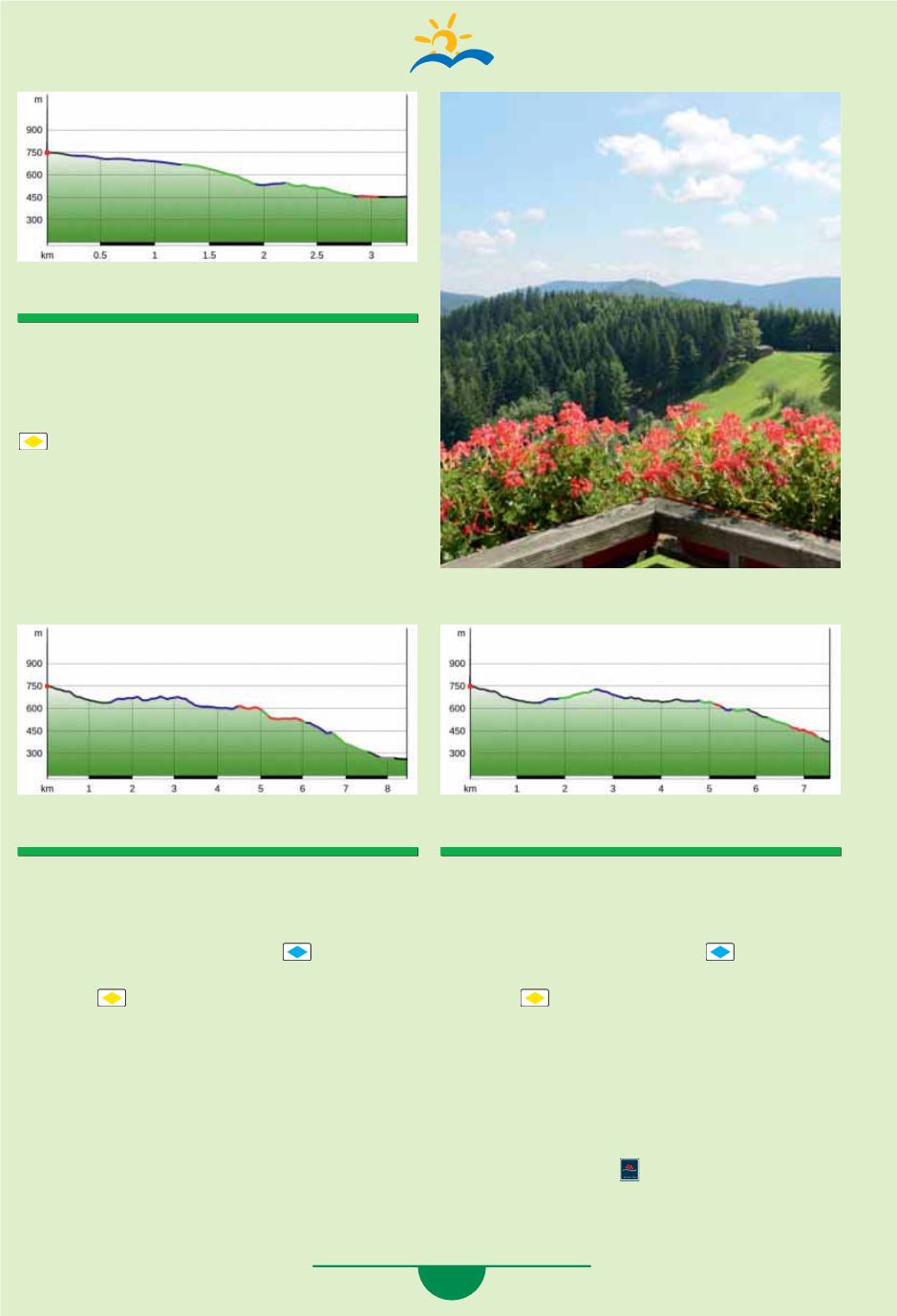
3.3 km, ascent 40 m / descent 330 m
From the Renchtalhütte, follow the asphalt
road downhill to the left until the curve -
“Rohrenbachblick”
location and follow
(yellow rhombus) -
“Nockenhofweg” -
“Habererhütte” - “Kirchberg”
- steep path
downhill to
“Panoramaweg”
- right to the next
fork in the path, downhill to the left - cross the
street -
“Kimmigseppenhof”
- right -
Bad Griesbach station.
Starting point Renchtalhütte:
8.4 km, ascent 181 m / descent 664 m
From the Renchtalhütte, follow the asphalt road
to the left downhill to the
“Martinshof”
location,
right
“Breitenberg”
- left, follow
(blue rhom-
bus), past the animal pen to the
“Holzbühlweg”
location -
(yellow rhombus) -
“Holzhau” -
“Kalter Brunnen” - “Wassereck” -
“Weberskreuz” - “Jägersbirk” - “Ritters-
bächle” - “Ottersberg” - “Stadtpark” -
Oppenau train station.
Starting point Renchtalhütte:
7.5 km, ascent 200 m / descent 570 m
From the Renchtalhütte, follow the asphalt road
to the left downhill to the
“Martinshof”
location,
right
“Breitenberg”
- left, follow
(blue rhom-
bus), past the animal pen to the
“Holzbühlweg”
location -
(yellow rhombus) -
“Holzhau” -
“Holderskopf” - “Bästenbachblick” - “Hinter-
Bäschtebach” - “Tanz” - “Beim Urbans-
kreuz” - “Wendelinsberg” - “Wieseneck” -
Bad Peterstal train station.
Beautiful alternative:
At the
“Bästenbachblick”
location you reach
the Schwarzwaldsteig which you can hike via
Bästenbach or Braunberg to the
Bad Peterstal
train station.


