44
Hike 1 “Lavender Path”
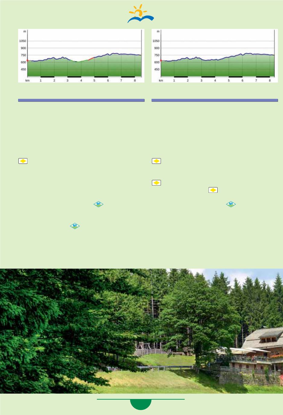
Starting point Dollenberg:
8.5 km, ascent 452 m / descent 359 m
Follow the asphalt road to the right to the first
house. In the curve, walk between the house and
the garages (private path) to the left the field
path and in the forest walk downhill to the left.
Now you are on the path marked with the
(yellow rhombus). The path goes downhill
into the valley past the gate to the
“Dissenhof-
weg”
location. Downhill to the left towards
Herbstwasen - Fischfelsenhütte. At Herbstwasen,
after the house on the hiking path, take the
asphalt road to the left downhill, pass the inn on
the right, and then follow the
Wiesensteig.
Follow the Uferweg (riverside path) to the
“Fischfelsenhütte”
location. Pass the hut, the
take the path uphill
for the Wiesensteig.
Follow it to the
“Mittlerer Brandweg”
location,
go left 200 m downhill into the valley, then to the
right, uphill, Mittlerer Brandweg - Renchtalhütte.
Hike 1 Variation
Starting point Dollenberg:
8.3 km, ascent 452 m / descent 338 m
Follow the asphalt road to the right to the first
house. In the curve, walk between the house and
the garages (private path) to the left the field
path and in the forest walk downhill to the left.
Now you are on the path marked with the
(yellow rhombus). The path goes downhill
into the valley past the gate to the
“Dissenhof-
weg”
location. Downhill to the left, follow the
(yellow rhombus) to the
“Weiherplatz”
loca-
tion. Continue further
to the
“Fischfelsen-
hütte”
location. Pass the hut, follow the path
uphill to the right and follow
the Wiesensteig
to the “
Mittlerer Brandweg”
location, go left
200 m downhill into the valley, then to the right,
uphill, Mittlerer Brandweg - Renchtalhütte.


